Kim Jung In will be living pretty good, if Garmin pays up.
One would think, replacing the systems and restoring backups would be deemed more critical for flight plan data than just being duped by cyber criminals.
Kim Jung In will be living pretty good, if Garmin pays up.
One would think, replacing the systems and restoring backups would be deemed more critical for flight plan data than just being duped by cyber criminals.
Their are a ton of private and commercial aircraft use Garmin navigation systems in order to program the route for the aircraft to fly. In fact its a requirement from the FAA that they do so it seems to me that the Garmin firewalls were not as strong as they thought they were. I wonder why no one thought of having a backup system in case something like this happened?
A retired pilot friend of mine has been warning about this for decades. He says the current licensing requirements get people in the air without the ability to navigate without assistance like this.
A retired pilot friend of mine has been warning about this for decades. He says the current licensing requirements get people in the air without the ability to navigate without assistance like this.
Most folks (surprisingly to me) aren't Instrument rated and are supposed to be looking out the dang windows to see where they are going anyway. VORs, pilotage: following roads, rivers, and railroad tracks, it's kind of hard to break those.
In my opinion, advancement in electronics/avionics is what has led to pilots being dependent on them. Pilotage, navigating using landmarks, both natural and man made, has slowly taken a back seat to electronic navigation. Things that helped it along were miniaturization of components, cheaper cost, home computers ( access to aviation software), release of GPS to the pivate sector and smart phones.
Human nature being as it is, people are more comfortable using their electronics that using maps. While I still carry some old road maps, I would be hard pressed to know where to buy them today. Now with GPS and autopilots being affordable, it is much easier to plug in a few coordinates than planning a VFR flight using a sectional.
It is just time marching by and you can't turn back the clock. While I would love to sit in an engineers seat of a Lockheed L1049 and juggle fuel and oil to four hungry R3350 turbo compound engines, those days are history just as the Radio Range (last one I remember was in Alaska), LDA approches (DCA may still have one), ILS back course approaches, ADF approaches ( ADF was always good for listening to ball games) and lastly the Nations VOR system.
As I recall, the "Sky is falling" folks worried more about giant sunspots taking out the GPS system than hackers. (of course we probably never heard of hackers back then)
This has also been affecting InReach devices I believe. I didn't follow the details (I don't have one) but I recall people that did on another site bringing it up.
Most folks (surprisingly to me) aren't Instrument rated and are supposed to be looking out the dang windows to see where they are going anyway. VORs, pilotage: following roads, rivers, and railroad tracks, it's kind of hard to break those.
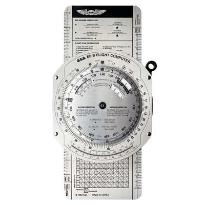
I loved plotting courses on sectionals circling landmarks, and when I should be at them. Dead reckoning with the E6B , using VOR intersections etc. Once I had GPS, man, talk about lazy..
Their are a ton of private and commercial aircraft use Garmin navigation systems in order to program the route for the aircraft to fly. In fact its a requirement from the FAA that they do so it seems to me that the Garmin firewalls were not as strong as they thought they were. I wonder why no one thought of having a backup system in case something like this happened?
Like the Naval Academy stopping teaching celestial nav as it was not needed due to GPS. Then, a number of years later, realizing how vulnerable the GPS constellation is, and they started teaching it again.
I did a bridge tour on a cruise ship, and they had a sextant. I asked, and they shoot a sun or star shot daily to keep in practice, just in case.
True. I do enjoy the Eastern Seaboard guys getting quite adamant that ALL the NDBs are gone, then I post a link like skyvector (dot) com/files/tpp/2008/pdf/01231NA.PDF then I hear crickets. Lots of them still all over Alaska.

")

") True. I do enjoy the Eastern Seaboard guys getting quite adamant that ALL the NDBs are gone, then I post a link like skyvector (dot) com/files/tpp/2008/pdf/01231NA.PDF then I hear crickets. Lots of them still all over Alaska.
True. I do enjoy the Eastern Seaboard guys getting quite adamant that ALL the NDBs are gone, then I post a link like skyvector (dot) com/files/tpp/2008/pdf/01231NA.PDF then I hear crickets. Lots of them still all over Alaska.